Before leaving on our trip, we did some (but not too much) research, into our destinations. We made a list of cities and national parks that we really wanted to see on our trip. Then we plotted these locations on our own custom map using Google. We also created a calendar with a basic timeline of when we should aim to be in each location. We had hard dates set when we would visit friends, but the rest was more flexible.
For the most part we relied on our smartphone’s GPS to take us to our destinations. We didn’t always have phone service on the road, but if you loaded the directions at the start point with Wi-Fi, it would stay active for the entire day’s drive as long as we didn’t prematurely stop the navigation in an area without reception.
All in all, we didn’t have a strict schedule, hotel reservations, or even knowledge of a city’s sights, so we relied strongly on travel resources. The ones we found the most useful are as follows:
Yelp
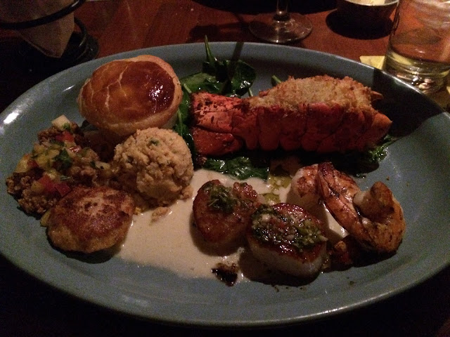
Even at home we use Yelp to find the best restaurants. While traveling, we would often use Yelp to find the places the locals enjoy. Yelp allows us to filter by location, distance, price range, and ‘now open’. We typically looked for restaurants that were $ or $$ and had both good ratings and a large quantity of ratings. (For example, a restaurant with 4 stars but 200 reviews would typically be our pick instead of one with 5 stars but only 3 reviews).
Another hint; Yelp will tell you the most often used words in a review. If ‘bacon candy’, ‘margarita’, or ‘fried green tomato’ is mentioned in a lot of reviews, you can bet we’ll be ordering that off the menu.

Kayak
Because we often arrived in a city with no hotel reservations, we used Kayak a lot. Kayak let us easily see which hotels still had vacancies, their price, and the reviews from other guests. It was important to us to read the description of each hotel because it would often state if the hotel included a complimentary breakfast or if there was a fee to park. To save time, we didn’t book on Kayak very often, but would just drive to the hotel. Typically, if we were given another price at the hotel front desk, they would be willing to match Kayak’s price once we showed them the screen.

Trip Advisor
We started to use Trip Advisor later on our travels. We found that in some cities Trip Advisor was more popular than Yelp or Kayak. We started to compare both restaurant reviews and hotel prices on Trip Advisor to the other applications we used before making a choice.
Trip Advisor also has a second, specialized ‘city guide’ application. This application lets you download a city guide, which are accessible offline. They also include self-guided walking tours along routes that are user submitted.

Guide to the National Parks of the United States (5th edition) by National Geographic
Visiting national parks was a big goal of our trip and this guidebook was invaluable to us. It is arranged by region, so we would sometimes find a national park in the area that we might have otherwise missed (Hello Black Canyon). The best advantage of this book was its agendas for each park. If we visited a park that we didn’t have a preconceived plan for, we followed the guidebook’s route almost to a T. The routes typically led us to the park’s most popular sights with advice on which areas you may want to bypass due to time, distance, or disinterest. The agendas often recommended hiking routes which ranged from short 0.25 mile nature trails to day long treks.

Visitors’ Centers and Welcome Centers
Early in our trip we relied on visitors’ centers very often for advice on where to camp, where to hike, and what to see. Visitors’ centers in small towns are often in the chamber of commerce and were fairly helpful. State welcome centers along highways were best for picking up maps of the region or finding the most interesting town to spend a night in.
The visitor center in each national park was our first stop, and many times we stopped at multiple visitor centers in the parks. In the national parks, the visitor centers typically offer a video introduction of the park, displays on the park’s history, geology, or wildlife, as well as hiking maps.
Enjoying the South Dakota Welcome Center
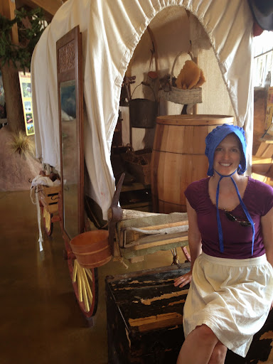
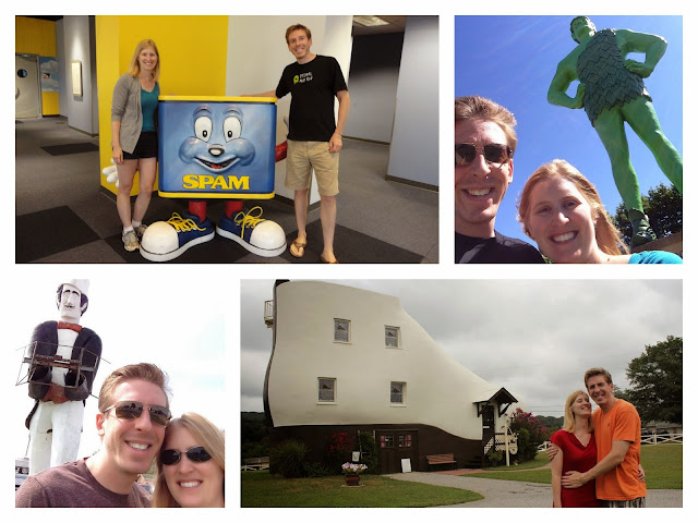
RoadsideAmerica.com
This website might not be for everyone, but if you enjoy roadside Americana, you might want to check it out. We used this website to find attractions to break up days which were mostly driving. These attractions ranged from statues, museums, and very unusual sights. Typically, I found the maps of each state the most useful. I would look at our route on the map and see what attractions were not far out of our way. This website is how we found the Spam Museum, World’s Largest 6 pack, and a giant fire-hydrant.
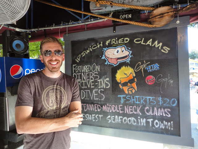
Tvfoodmaps.com
When Yelp and Trip Advisor differed from each other greatly, or we felt like something different, we would use this website to help choose where to eat. Restaurants listed as being on Diners, Drive-ins, and Dives or No Reservations received preference from us.